Low-Level Wind Shear Detection: Saving Lives at Airports
Landing is the most dangerous part of flying. Learn how GNSS fills the blind spots of LIDAR and Radar to detect wind shear near the runway.

The Final Approach Danger
The most critical phase of any flight is the final 3 minutes before landing. The aircraft is low, slow, and close to stall speed. There is very little room for error.
In this vulnerable state, Low-Level Wind Shear (LLWS) is a killer. LLWS is a sudden change in wind speed or direction near the ground. It can be caused by local terrain, temperature inversions, or storm outflows.
If a pilot expects a 10-knot headwind and suddenly hits a 10-knot tailwind, their airspeed drops by 20 knots instantly. The wing loses lift. If they are only 500 feet off the ground, they may not have enough altitude to recover.
The Technology Gap: LIDAR vs. Radar
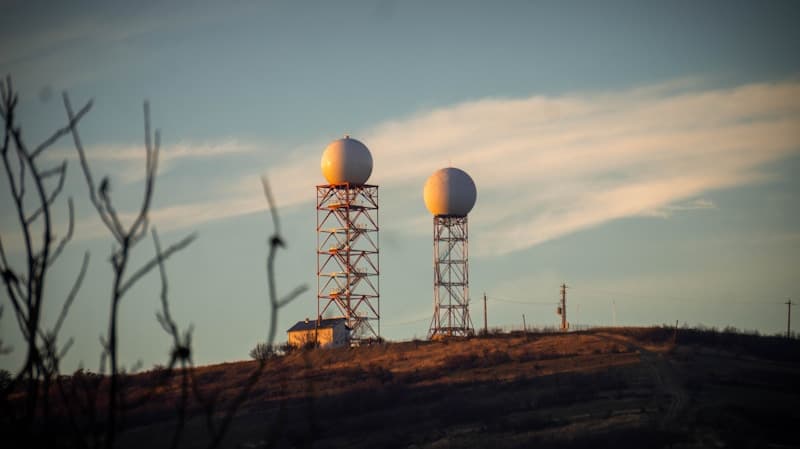
Major airports use LIDAR (Laser Radar) and TDWR (Doppler Radar) to detect this.
- LIDAR is precise but fails in rain or fog (the laser scatters).
- Radar works in rain but struggles in dry, clear air (no particles to bounce off).
This creates a dangerous gap: What happens on a dry, windy day? Or a foggy morning with shifting winds?
Deep Dive: GNSS Tomography as the Safety Net
Skyfora fills the gap left by lasers and radar.
As discussed in our post on Microbursts, GNSS signals are refracted by atmospheric density gradients. By processing these signals across a dense mesh of receivers around the airport perimeter, we generate a 3D Wind Field Reconstruction.
- All-Weather Capability: GNSS radio waves penetrate fog, rain, and clouds equally well. We provide consistent data regardless of visibility.
- Volumetric Scan: Radar scans in a beam (like a flashlight). It takes time to sweep the whole sky. GNSS tomography sees the whole volume simultaneously (like a floodlight).
- Wake Turbulence: We are researching the ability of dense GNSS networks to even detect the wake turbulence left by large jets, potentially allowing for tighter spacing of landing aircraft.
Skyfora's Advantage: The Urban Airport
Many dangerous airports (like LaGuardia or Hong Kong) are surrounded by water or dense city infrastructure, making it hard to site traditional radar.
Skyfora’s sensors can be mounted on existing airport light poles or nearby buildings. This flexibility allows us to build a "virtual wind tunnel" visualization for Air Traffic Control (ATC), showing them the wind flow between the skyscrapers on the approach path.
Practical Applications
- Go-Around Reduction: By giving pilots a precise wind report ("Wind shear of 15 knots at 400 feet"), they can adjust their approach speed before they hit the shear, avoiding a frightening drop and a costly go-around.
- Helipads: Urban Air Mobility (UAM) and helicopters operate entirely in the low-level environment. GNSS sensors on rooftops provide the block-by-block wind data needed for safe vertical landings.
Conclusion
Aviation safety is built on redundancy. Pilots have two engines and three radios. It is time the airport's weather sensing had the same level of redundancy. By adding GNSS tomography to the existing mix of Radar and LIDAR, we ensure that there is no weather condition, rain or shine, where wind shear can hide.