Satellite vs Ground: The Weather Data Debate
Satellites have great coverage, but they struggle to see under clouds. Discover why Ground-based GNSS is the necessary partner to space-based sensing.

The Eye in the Sky vs The Ear on the Ground
In the weather industry, there is a constant debate: Do we need more ground stations, or should we just do everything from space?
Proponents of the "Space-First" approach argue that satellites cover the whole globe, including oceans where no sensors exist.
Proponents of the "Ground-First" approach argue that satellites are too far away (36,000km for Geostationary) to see the details of the lowest layer of the atmosphere, where we actually live.
The truth, as usual, is in the middle. But the balance of power is shifting.
The Limitations of Space
Satellites are miracles of engineering, but they obey the laws of physics:
- Revisit Time: Low Earth Orbit (LEO) satellites give high resolution but only pass over a spot twice a day. Geostationary satellites see constantly but have low resolution.
- Vertical Blindness: Satellites look down through the top of the atmosphere. They see cloud tops beautifully. But seeing under the clouds, to measure the humidity near the ground, is incredibly difficult. The signal gets attenuated.
- Cost: Launching a satellite costs millions. Launching a GNSS receiver on a tower costs pennies by comparison.
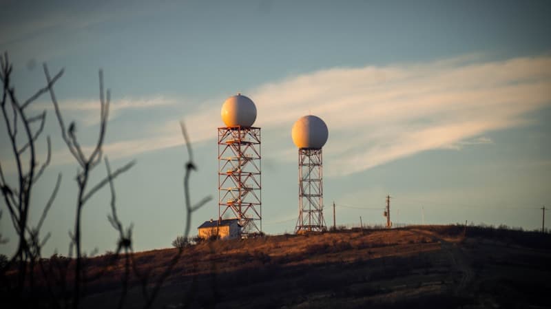
Deep Dive: The Ground Truth
Ground-based GNSS sensors (like Skyfora’s) are the perfect complement to satellites.
- Looking Up vs Looking Down: Satellites measure the "Integrated" column from top to bottom. Ground sensors measure it from bottom to top. When you combine them, you constrain the math from both ends, resulting in a much more accurate vertical profile.
- Temporal Resolution: A ground sensor never blinks. It provides data every second of every day. It captures the rapid evolution of a storm that might happen exactly between two satellite passes.
Skyfora's Advantage: The Anchor Point
Think of Skyfora’s network as the "Anchor" for satellite data.
Satellite algorithms drift. They need constant calibration. By comparing the satellite's reading to our precise ground-truth reading, we can correct the satellite's errors for a whole region.
We call this "Fused Tomography." We ingest satellite data (for broad coverage) and fuse it with our ground GNSS data (for local precision and vertical accuracy).
Practical Applications
- Gap Filling: In between satellite passes, the ground network maintains situational awareness.
- Complex Terrain: In mountains, satellites struggle with viewing angles. Ground sensors in the valleys provide the missing data points.
Conclusion
The debate isn't "Satellite OR Ground." It is "Satellite AND Ground." But for too long, the ground component was neglected because it was too expensive to scale. With the telecom-integrated GNSS approach, we are finally building a ground network dense enough to match the ambition of the space age.